Answer a series of questions and follow the prompts below to arrive at a recommended shoreline erosion control strategy.
< Back to Introduction and How ToIs the shoreline currently defended with an erosion control structure?
Please select an answer!
Erosion control structures include breakwaters, bulkheads, groins, marsh toe revetment (marsh sill), revetment, seawalls, etc. This question only considers the structures bulkhead and revetment.
Bulkheads are traditionally treated wood or steel 'walls' constructed to offer protection from wave attack. More recently, plastics are being used in the construction. Bulkheads are vertical structures built slightly seaward of the problem area and backfilled with suitable fill material. They function like a retaining wall, as they are designed to retain upland soil, and prevent erosion of the bank from impinging waves. (VIMS Shoreline and Tidal Marsh Inventory Glossary. 2017)
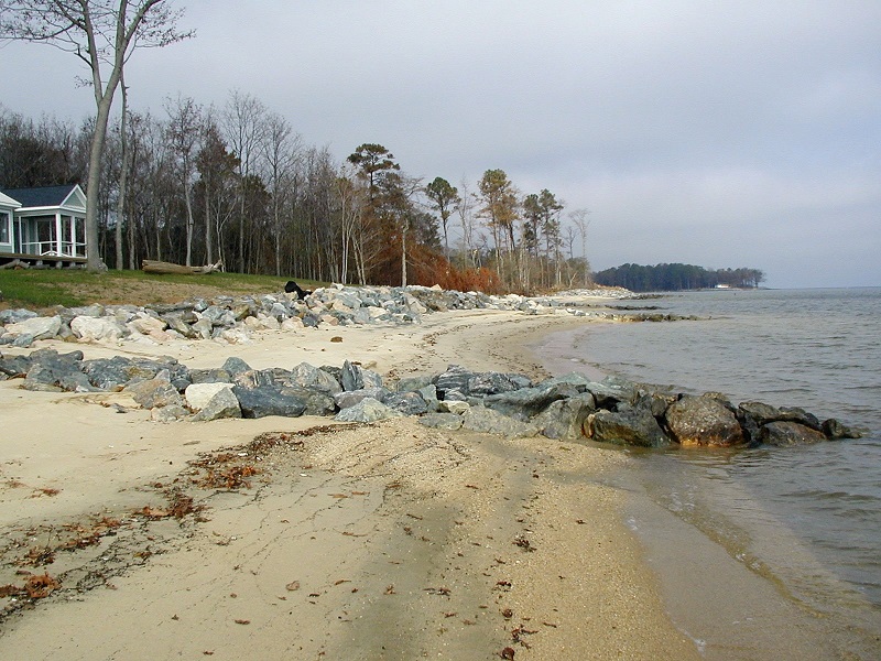
Revetment is a sloped structure constructed large, heavy stone or other materials (riprap) placed against the upland bank for erosion control. The size of a revetment should be determined by the wave height expected to strike the shoreline. The site-suitability for a revetment must be determined, including bank condition, tidal marsh presence, and construction access limitations. (VIMS - CCRM Coastal Management Decision Tools, Currently Defended Shoreline - Definitions)
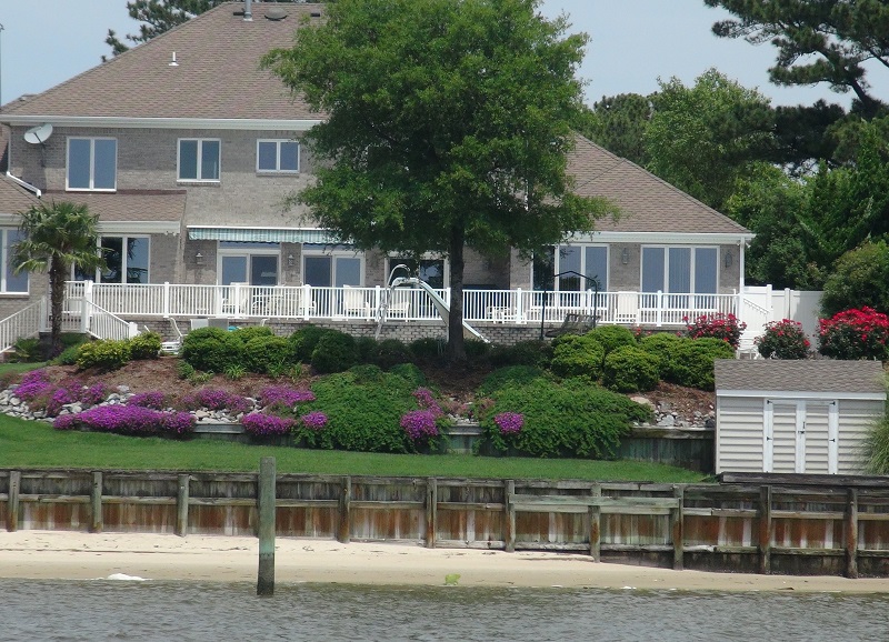
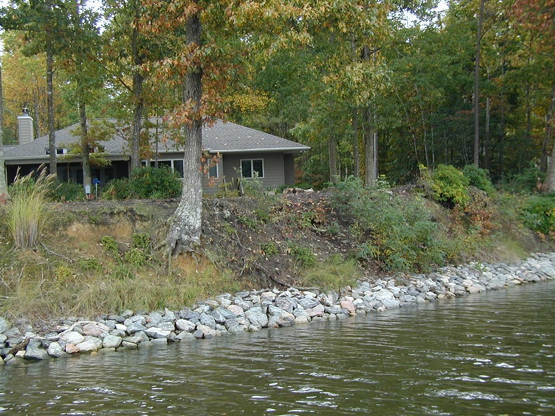
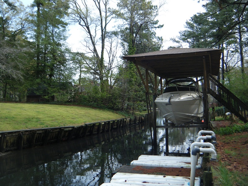
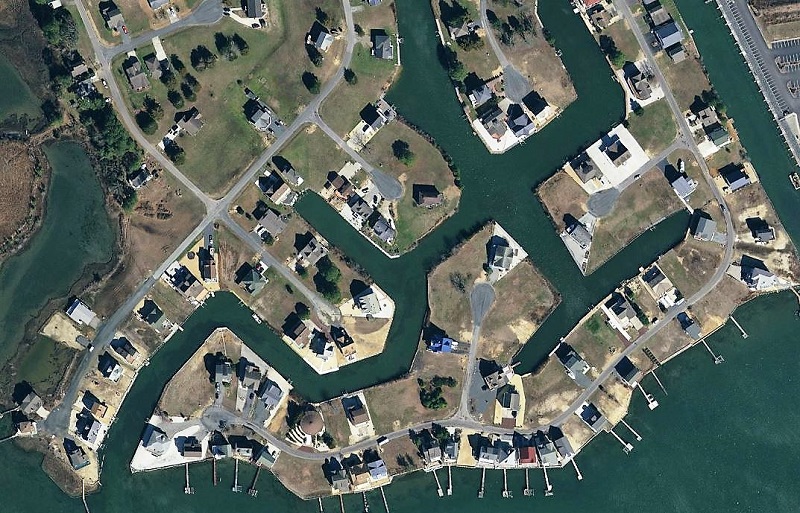
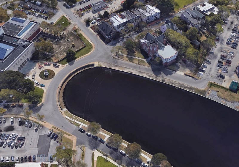
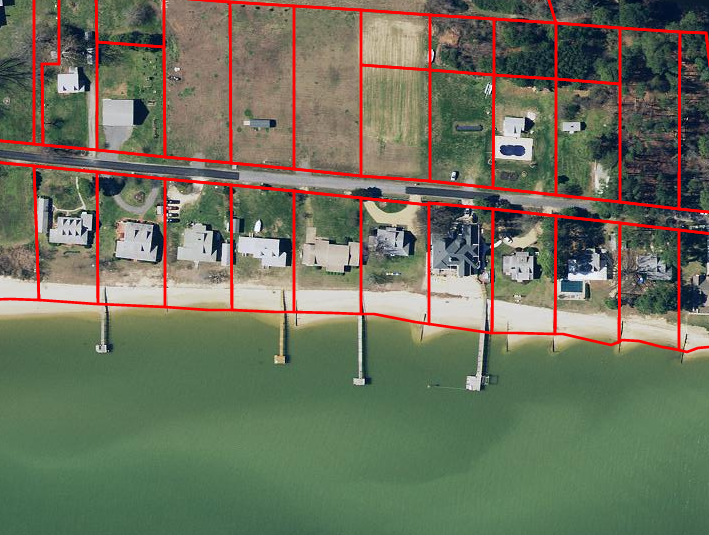
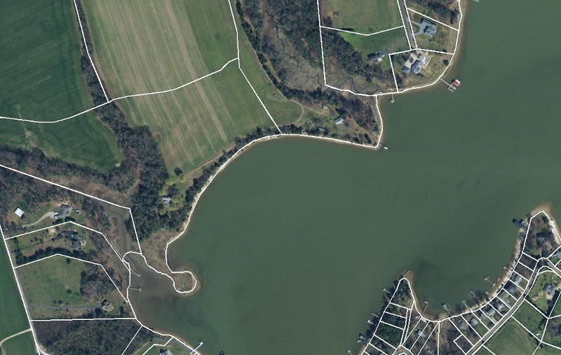
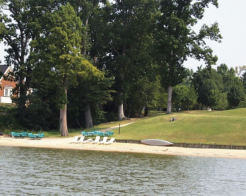
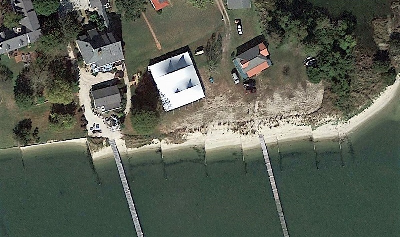
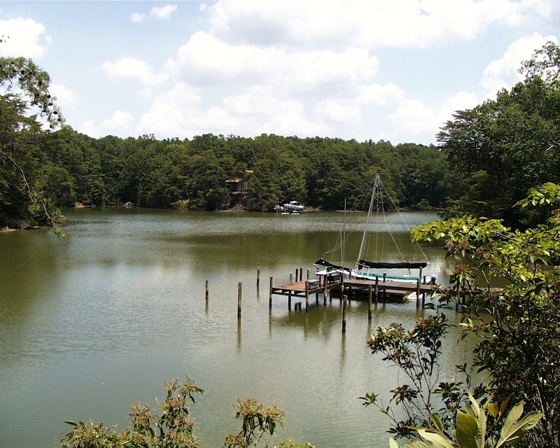
Is the shoreline part of a residential canal?
Set answer to 'no' if you want to continue!
A residential canal is a navigable, man-made, narrow waterway in a residential setting. The shoreline is often hardened with bulkhead or revetment. Short piers, boathouses, boat lifts, and/or places to tie boats against the bulkhead are present. Three examples are shown below.

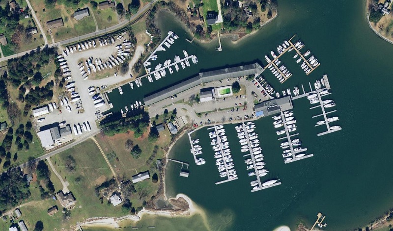
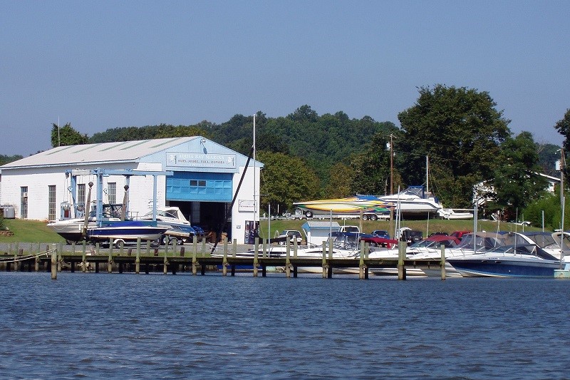
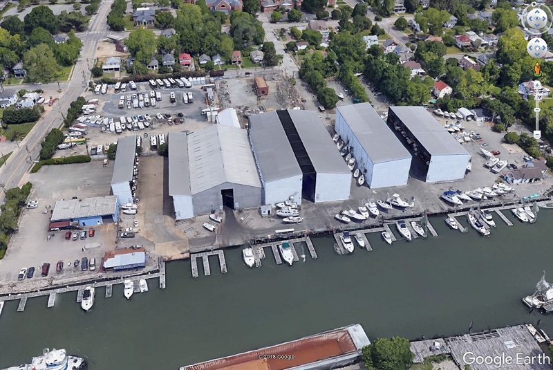
Is the shoreline part of any of the following?
Set answer to 'no' if you want to continue!
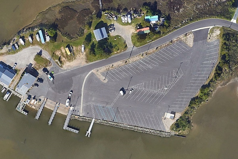
Marinas are typically commercial operations with many piers and boat slips. Some facilities may have boat storage buildings. The shoreline tends to be hardened with bulkhead or revetment. Small scale, community piers with multiple slips might not have shoreline hardening but should still be considered a marina.
If the shoreline has any kind of shoreline hardening (bulkhead, revetment, wharf, sea wall, groins, etc), is the upland land use commercial or industrial?
Commercial is a land use classification denoting small commercial operations such as shops, restaurants, as well as campgrounds. These operations are not necessarily water dependent businesses. (VIMS Shoreline & Tidal Marsh Inventory Glossary (August 2017))
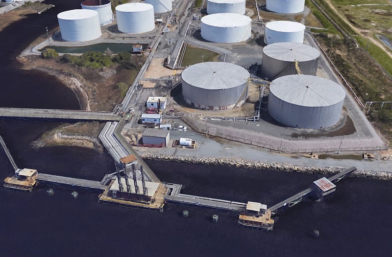
Industrial operations are larger commercial businesses and can include areas where power plants, pulp mills, refineries, etc. are in operation along the coast. (VIMS Shoreline & Tidal Marsh Inventory Glossary (August 2017))
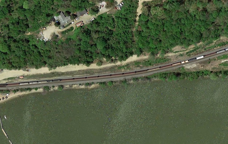
Is there a road, parking lot, or rail bed next to the shoreline?
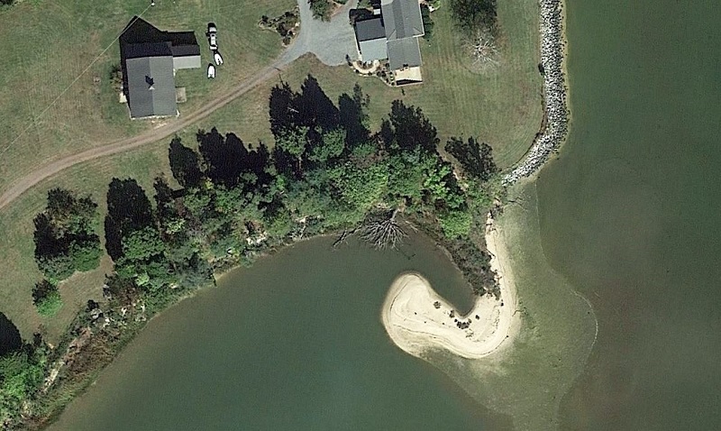
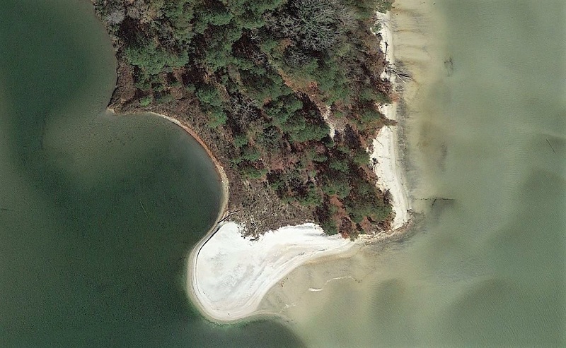
Is there submerged aquatic vegetation (SAV) or mangroves within 30 feet of the shoreline, or is the shoreline part of a sand spit?
Set answer to 'no' if you want to continue!
Most coastal states have rules and regulations that prevent placing structures in an area where SAV has been mapped in atleast one out of the previous five years.
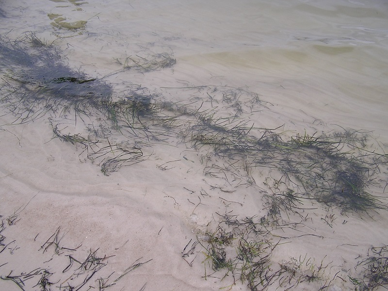
Submerged Aquatic Vegetation (SAV) are underwater grasses that grow in shallow water. A few of the important ecological services they provide include habitat for crabs, fish, and shellfish, food for waterfowl, and improved water quality by trapping suspended sediment and absorbing nitrogen and phosphorus.(NOAA. Submerged Aquatic Vegetation. NOAA Chesapeake Bay Office website, https://chesapeakebay.noaa.gov/submerged-aquatic-vegetation/submerged-aquatic-vegetation, accessed on 3/21/2019)
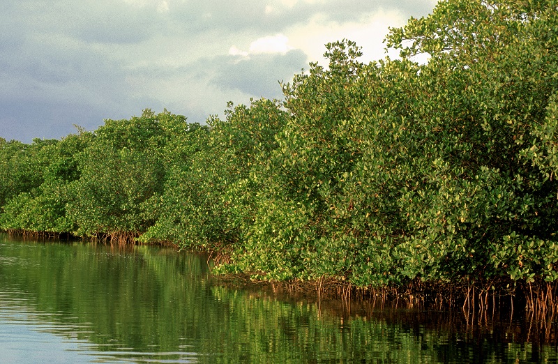
Mangroves are trees and shrubs that are adapted to living along tidally influenced tropical and subtropical coastal areas. They have developed special adaptations to handle oxygen-poor, salty soils. They typically have exposed, arching roots that provide support and access to oxygen for the tree. Mangroves and their roots help dissipate wave energy, stabilize the shoreline, and provide habitat for a wide variety of creatures. (Smithsonian. Mangroves. Smithsonian Ocean website, https://ocean.si.edu/ocean-life/plants-algae/mangroves, April 2018)
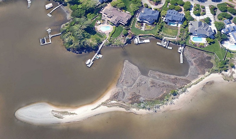
A Sandspit is a narrow coastal landform tied to the upland shoreline at one end resulting from the deposition of sand moved by tides and currents. Spit features are generally sandy and may be dominated by beach, dune, and/or marsh habitats.(VIMS Shoreline & Tidal Marsh Inventory Glossary (August 2017))
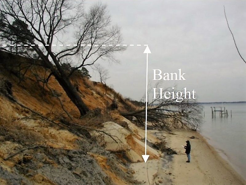
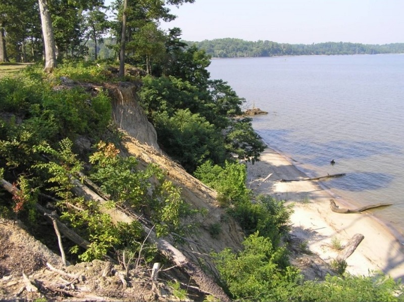
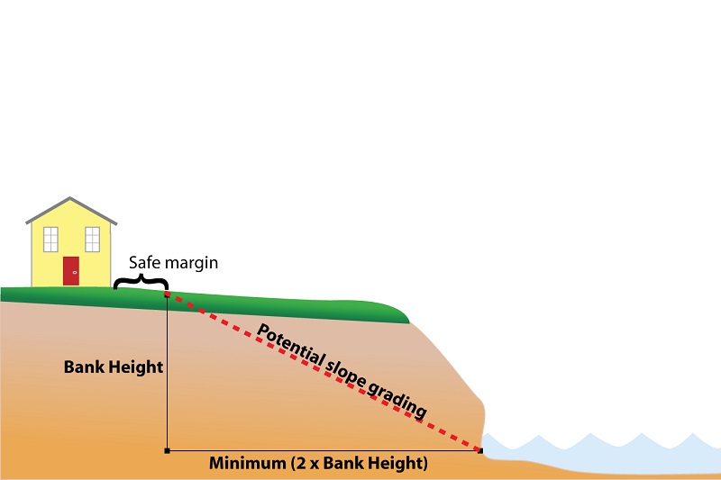
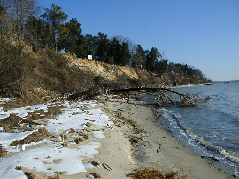
The height of the bank at the interface between the shoreline and the upland can limit the type of management solutions that would be effective at countering erosion. Erosion on very high banks (those greater than 30 feet) may not be driven by wave energy, and therefore shoreline management strategies would not be appropriate.
Is your bank height greater than 30 feet?
Set answer to 'no' if you want to continue!
Bank height is measured vertically from the foot of the bank to the top of the bank.
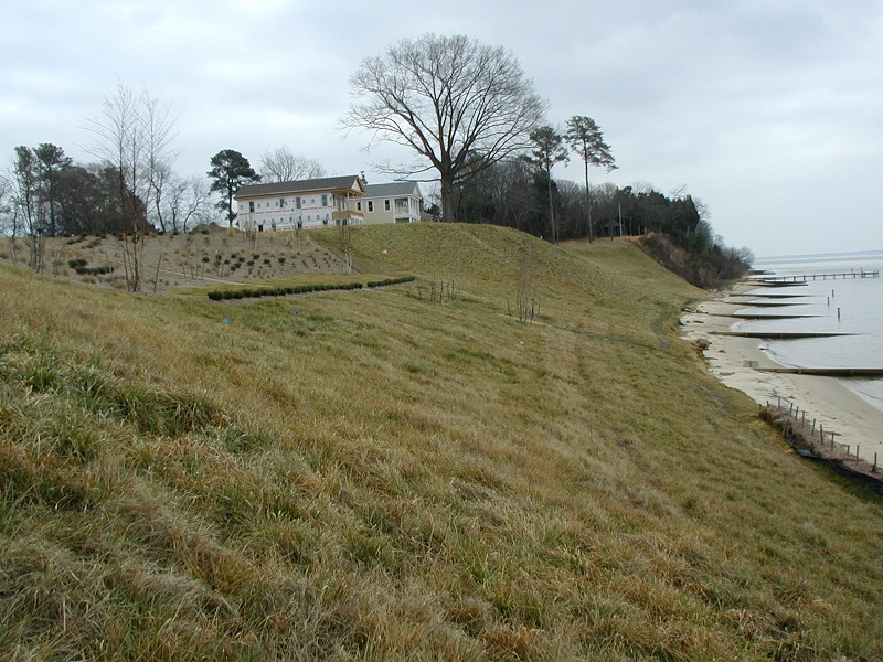
Can the shoreline bank be graded, if necessary?
Please select an answer!
The intent of bank grading is to reduce the steepness of the bank slope thereby minimizing erosion caused by wave activity at the base of the bank. In Virginia a 2:1 or 3:1 slope is appropriate. For example: for a 2:1 slope, a 10 foot tall bank would need to be graded back a minimum of 20 feet (i.e. 2x10 = 20). Different slope ratios may be appropriate for other regions.

What is the length of the shoreline of interest?
Please select an answer!
Length of the property shoreline can be an important component in what type of shoreline erosion control is proposed. For example: when the shoreline length is less than 200 feet an offshore breakwater may not be practical.
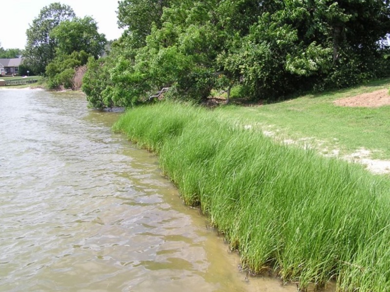
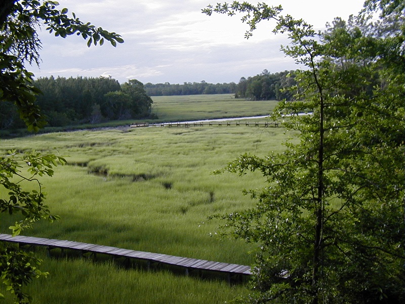
Is there an established marsh along this shoreline?
Please select an answer!
Tidal marshes take on several different morphologies. They can be embayed features that are set into the landscape with upland areas along the marsh edges. They can also be large extensive features that extend into the open water and have water on two or three sides. Fringe marshes grow nearly parallel to the shoreline and can be wide or narrow. In all cases, wetland vegetation must be relatively well established, although not necessarily healthy. (Glossary of Shoreline Features Defined (2014), Center for Coastal Resources Management, VIMS)
How wide is the marsh?
Please select an answer!
Existing tidal marshes greater than 15 feet wide typically provide beneficial wave attenuation and sediment trapping. Increasing the size of marshes less than 15 feet wide may be a recommended strategy to improve these ecosystem services.
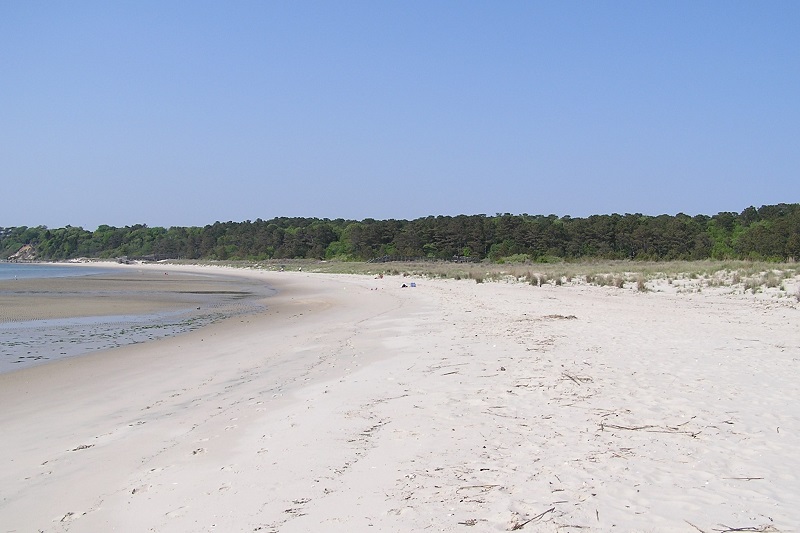
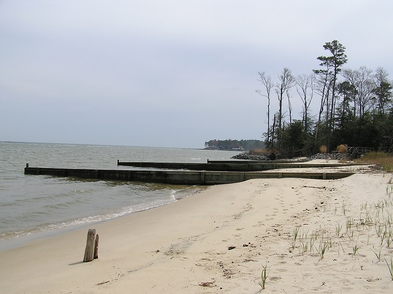
Is there a beach along the shoreline?
Please select an answer!
Beaches are persistent sandy shores that are visible during high tides. These features can be wide or thin lenses of sand. (VIMS Shoreline & Tidal Marsh Inventory Glossary (August 2017))
Is there an existing groin field?
Please select an answer!
Groins are low profile structures that sit perpendicular to the shore. They can be constructed of rock, timber, or concrete. They are frequently set in a series known as a groinfield, which may extend along a stretch of shoreline for some distance. When effective, groins will trap sediment moving alongshore. (VIMS Shoreline & Tidal Marsh Inventory Glossary (August 2017))
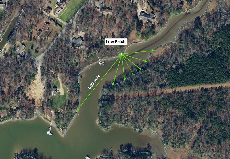
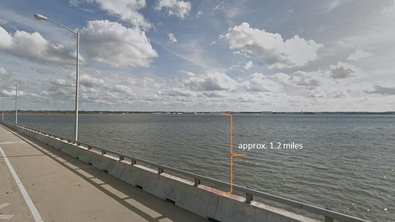
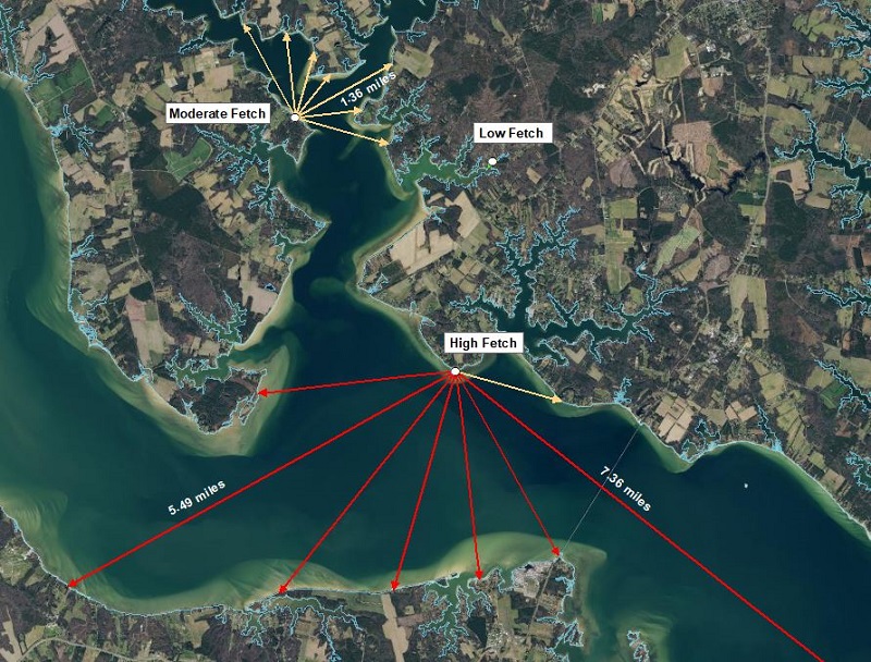
What is the shoreline exposure/fetch?
Please select an answer!
Fetch is the distance across open water over which wind blows and waves are generated.(VIMS-CCRM Coastal Management Self-Guided Decision Tools. Center for Coastal Resources Management website, https://www.vims.edu/ccrm/advisory/ccrmp/bmp/decision_tools/index.php Undefended Shoreline Decision Tool User Manual - April 2010)
Use a map or aerial image to measure the longest fetch to answer this question.
What is the nearshore water depth?
Please select an answer!
Nearshore water depth refers to the vertical distance between the water surface and the submerged bottom usually referenced in feet below the mean low water elevation (e.g. -2 ft MLW). Shallow water depths are less than 1 m (3 feet) at a distance 30 feet from the upland bank.

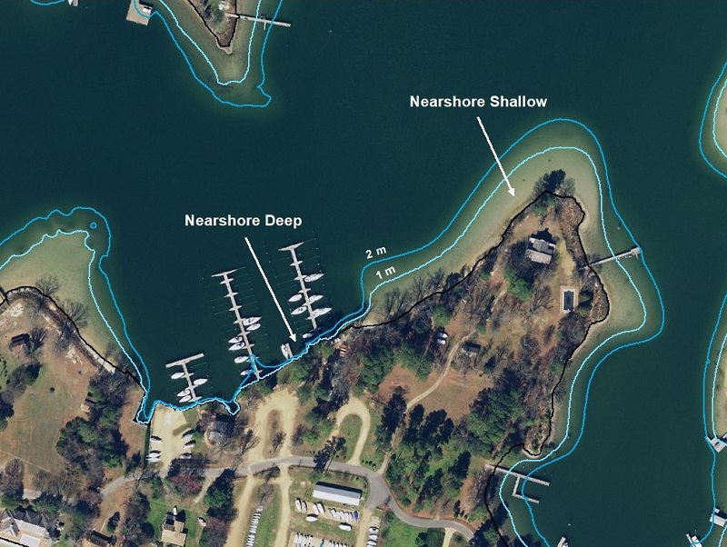
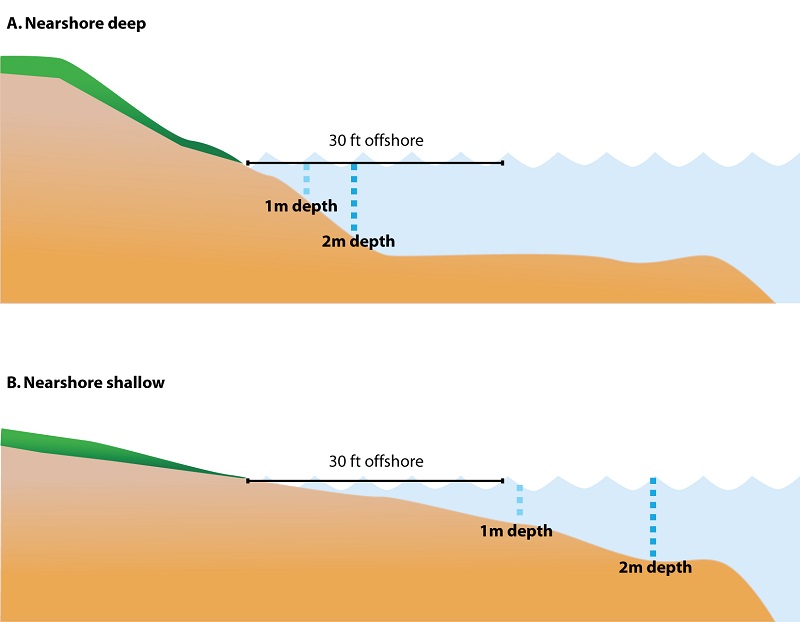
Shallow nearshore. Water depth is considered 'Shallow' if the offshore slope is gradual and the water depth approximately 30 feet from shore is 3 feet or less.
Deep nearshore. Water depth is considered 'Deep' if the offshore slope is steep and the water depth approximately 30 feet from shore is greater than 3 feet.